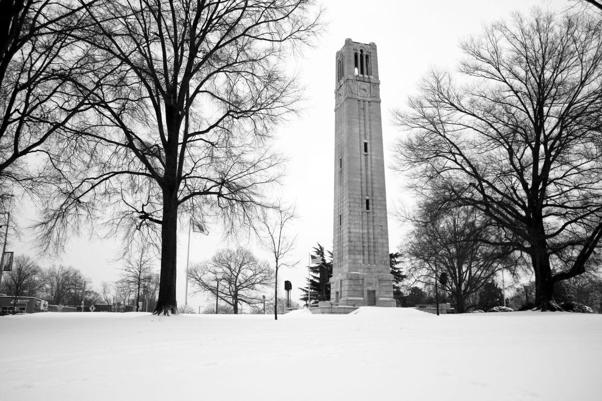
The saying, “March comes in like a lion, but leaves like a lamb,’’ is a perfect phrase to describe the weather this year. Although the calendar says winter has ended, arctic air and winter weather have kept the long sleeves on and the shorts in the drawer.
Kenneth Kunkel, a research professor in the Department of Marine, Earth and Atmospheric Sciences, said the harsh storms and low temperatures are not uncommon for March but are considered common for the seasonal transition.
“It is not unprecedented to get this kind of cold weather this time of year,” Kunkel said. “Marches can sometimes be rather cold and windy, and this one was not necessarily bad.”
Many Raleigh residents have become irritated at the fluctuating temperatures and have coined the phrase, “North Carolina: where you can experience every season in one week.” Kunkel does not share this theory.
“It is not uncommon during early spring, especially with the transition of season going on,” Kunkel said. “We still have episodes of cold air coming down from Canada and the Arctic. The air is warming to the south of us, so when the winds shift around, it can be warmer and bring sunny days. This is fairly typical of March, and at this point, it is not very unusual.”
In comparison to the past two winters, North Carolina has experienced an influx in snow and ice this year. Kunkel said to understand the cold conditions, the weather patterns throughout the country in the later part of the winter need to be observed.
“It has been in the news a lot about the cold and snow in the eastern part of the country,” Kunkel said. “We have been in a pattern that does happen from time to time, where the weather patterns are stagnant and do not move very much. The jet stream gets into a stagnant pattern where the weather does not change. The jet stream has made a big dip southward over the eastern U.S.”
According to Kunkel, this pattern is bringing air directly down from the Arctic Circle and into the eastern U.S., giving this area cold conditions and strong storms to the north.
“It has been very persistent and has broken up a little bit, but we have gotten another shot of cold air,” Kunkel said.
Kunkel also said warm temperatures and droughts are occurring in the western part of the U.S., particularly California, and credited the change to shifts in the jet stream.
“Storms that normally track into the West Coast have been shot into the north and are hitting Alaska and northern Canada instead of coming southward over the Western Rockies,” Kunkel said. “This pattern has caused the storms to shift, and usually you have variation, but this year the storms have all shot northward due to the shift in the jet stream. There have been storms in the Pacific but just have not hit California.”
Accompanying the drought and warmth in California are warmer temperatures in Alaska. According to Kunkel, temperatures reached rare 30-40 degrees Fahrenheit this January in Fairbank, Alaska, and the change is due to the jet stream shift affecting the rest of the nation. Globally, Europe and Asia have experienced warmer winters this year while we have been hit with the cold air.
Nationally, the last winter to follow a similar structure to the present 2013-2014 season was the winter of 1977.
“January and February of 1977 were very cold and stormy and there was extreme drought over the western U.S., and the jet stream was locked in place over a long period of time that winter,” Kunkel said.
Often, North Carolina will have winters with little to no activity followed by hard-hitting weather the next year. Kunkel has lived in North Carolina for three-and-a-half years and said he has seen a possible pattern.
“Two winters to note would be 2009-2010, which was very snowy, and 2010-2011, the very next winter, had a lot of storms,” Kunkel said. “That was followed up by two years of virtually nothing, and here we are again with another winter, which was really severe. What can we expect in the future? We have not investigated the fact of one extreme going to another.”
A popular culprit to blame for the Arctic shift is global warming, and though little has been proven, Kunkel shared one possible theory being studied at the time.
“One hypothesis is the Arctic has been warming faster than the rest of the world in the past 30-40 years,” Kunkel said. “The cold air in the Arctic is what keeps the jet stream locked in place, and when you weaken that, the jet stream can become more amplified. Places where it shifts north will shift even further north, and places where it shifts to south will shift even further south.”
Kunkel said global warming is not the only reason, since this pattern occurred before, but it is an area of active research to see if global warming can be the main reason.
“A lot of the warming has happened since 1977, because it [global warming] started about that time,” Kunkel said. “It goes to show you that this pattern can and has happened naturally.”
With the extreme winter come questions as to what the summer will hold. According to the National Weather Service, we have a better than average chance of a warm summer. Since we are still in transition from winter to spring, it may be a hopeful dream that in a week, April will bring some sunny days among the characteristic showers.


