
With spring break on the horizon, NC State and the wider Triangle area are beginning to feel the gradual lift of winter’s dormancy. Recent weeks’ warm temperatures have been a welcome change from the dreary rains, ashy skies and frigid walks from class to class. But how cold of a winter did North Carolina really have?
Not a particularly cold one at all. Nationally, the United States experienced its warmest winter on record, with every state in the contiguous U.S. having higher-than-average temperatures throughout the season. Though North Carolina’s winter did not break statewide records, NC State students might have observed the absence of a key element to a picture-perfect winter: snow.
The Triangle area missed out on winter’s snowfall for another year, and is unlikely to see any in the remaining weeks of the season. The last time Raleigh-Durham saw snow was in January 2022, stretching the dry spell to over two years — the third-longest drought in the region’s history.
Coming into the winter, experts predicted a big season for snow. Corey Davis, assistant state climatologist at the North Carolina State Climate Office, said large-scale weather patterns set the state up to see at least some flurries.
“This winter we’ve been in an El Niño, and a pretty strong El Niño at that,” Davis said. “Historically, El Niño events like this one often bring at least one snow across the state. But we haven’t seen that at all.”
Davis said in part, this is due to bad luck. The conditions just didn’t come together like they needed to for snow to fall in central North Carolina.
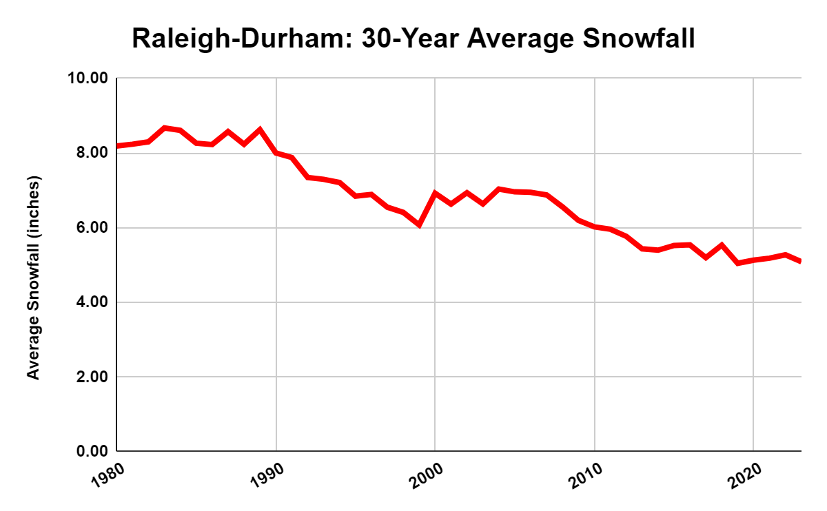
One of these conditions is temperature. Davis said nightly lows in the state have been warming at a rate of about one degree per decade since the 1960s.
“When you think about the wintry weather events that we can see in this area, it often comes down to just one or two degrees in the atmosphere — whether that precipitation falls as snow or sleet or freezing rain or just regular rain,” Davis said. “You can start to put the pieces together and see that is climate change, those warming temperatures, [which] is cutting down on our snow chances and also our snow amounts.”
North Carolina’s winters are not as pronounced as other parts of the country. Any storm in the season teeters on a rain-snow boundary, meaning slight temperature differences define which precipitation falls.
Walter Robinson, professor of atmospheric sciences and former head of the Department of Marine, Earth and Atmospheric Sciences, also said climate change is affecting this balance.
“What climate change does is, it sort of cooks the books, if you will, toward more rain and less snow,” Robinson said. “Our coldest temperatures are getting warmer rapidly. That’s bad news for snow.”
Events where we would have seen snow in the past could be slightly too warm to see snow now and in the future. Robinson said this effect can be attributed to two climate-change-driven developments: the greenhouse effect and a warming Atlantic Ocean.
“The greenhouse effect is actually like a blanket that keeps things from cooling off,” Robinson said. “And therefore you expect the strongest effect from that in the wintertime and night. So it’s very consistent with basic physics.”
Greenhouse gases trap more energy from the sun and cause the oceans to absorb more heat, increasing their temperature. This creates warmer water and air, which allows the atmosphere to hold more moisture. When taken up by the low-pressure systems that typically produce snow, they instead create conditions more favorable to producing rain.
Climate change most acutely affects the winter season, which is warming at a faster rate than any other season. Annual winter temperatures in North Carolina have been steadily rising for years, with 2022-23 being the third-warmest winter in Raleigh on record.
Davis said he sees the effects playing out in real time and expects more of the same in the future.
“In these last two winters, not seeing any snow across most of the state, I think that has been kind of another wake-up call for people that the climate we’re living in now was not the same that we lived in 20 to 30 years ago,” Davis said. “Based on what we’ve seen the last few years, we certainly can’t guarantee snow going into any winter at this point.”
Robinson also predicts the future of North Carolina winters will continue along this trend, but emphasized that it’s in humanity’s hands to avoid worse changes.
“It’s not completely out of control,” Robinson said. “We’re going to see warming. We’re not going to bring big snowstorms back to Raleigh in my lifetime, or yours probably. But there’s a big difference between an Earth that’s a couple of degrees [celsius] warmer … and an Earth that’s four or five degrees warmer. And we don’t want to see that Earth.”
For more information on local climate, the North Carolina State Climate Office housed at the University provides monthly blog updates on the state’s climate developments.
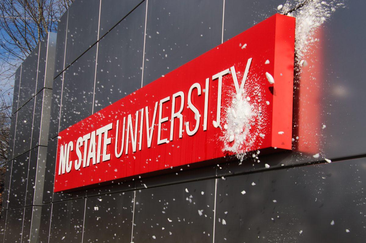
In this archive photo taken on Jan. 23, 2022, a snowball is thrown at the NC State University sign on Western Blvd. The snow storm started the previous Friday.